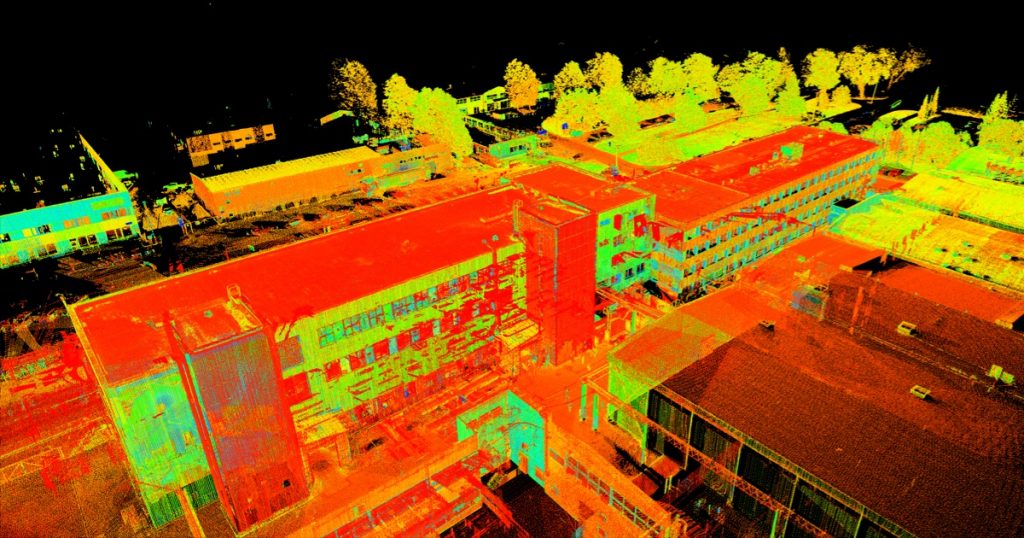
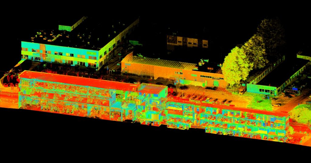
Laser scanning of the production building of Norma AS and preparation of 2D drawings
Laser scanning was the best solution for producing 2D drawings for the renovation of a large complex of buildings. Laser scanning is less time consuming and more accurate than the traditional tachymetric survey method.
Eight buildings inside and outside the Norma AS complex and their surroundings were surveyed with a laser scanner. Based on the point cloud, digital floor plans, views and sections and explication tables were prepared for each building.
The following equipment and software were used for the surveying work:
- Leica ScanStation P20 laser scanner, line measurement error ≤1 mm, angle measurement error 8”
- Leica GNSS GS08plus, real-time GPS measuring device
- Leica TS12 electron tachymeter, angular measurement accuracy 2”, line measurement accuracy +/- (2mm +/- 2ppm)
- Leica Cyclone and CloudCompare were used for processing the point cloud data
- Graphics programs Autodesk Recap and Autodesk AutoCAD