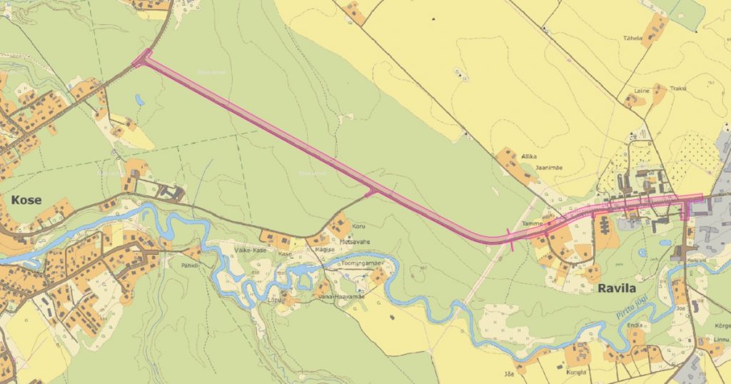
Geodetic investigations of Kose-Ravila pedestrian/cycle path
The geodetic base plan was a necessary source document for the design of a new pedestrian/cycle path.
In the course of the surveying work, a levelling course was created and the geodetic base plan was surveyed, which was coordinated with the easement owners. A 3D model of the ground was also created from the survey points. The length of the surveyed section was 2.6 km and the area was 9.6 ha.
The following equipment and software were used for the surveying work:
- TOPCON QS3 electron tachymeter, angle measurement accuracy 3”, line measurement accuracy +/- (2mm +/- 2ppm)
- Trimble S6 electron tachymeter
- Leica CS20, real-time GPS measuring device
- Leica Sprinter 250M, height measurement standard deviation 1 mm/km
- AutoCAD Civil 3D