Geodetic surveys
The purpose of geodetic works is to provide design engineers with source material that is of sufficient precision and builders with the necessary confidence margin for project implementation.
Reaalprojekt’s geodetic works:
- Establishing a planar and altimetric field network with the precision required for various measurement work.
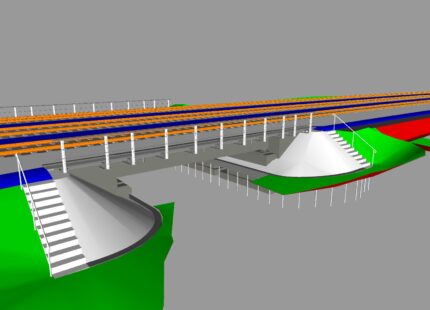
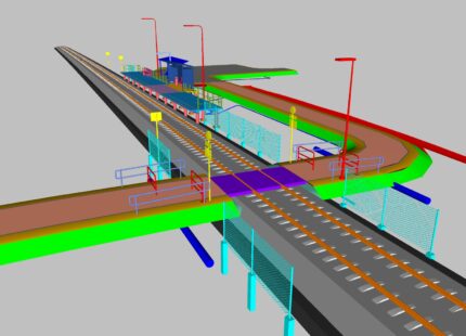
- Drawing up a basic survey plan with the precision and detail required for design development. The topo-geodetic basic survey plan shows the relief, the entire above-ground situation (landscaping, buildings and infrastructures, overhead power lines, etc.) and underground utility networks.
- Ensuring that the planar and altimetric field network are interlinked, which is required for geological site investigations.
- Making the necessary measurements during construction – establishing and setting out the construction network, as-built surveying, various control measurements, etc.
- Surveying existing buildings and infrastructure (bridges, buildings, overpasses, etc.) for the preparation of a renovation project, for verifying quality and stability, etc.
- All kinds of specific work where a precise measurement result is required.
We use modern surveying devices in our work: electronic tachymeters made by Leica, Topcon and Trimble; GPS devices manufactured by Leica, Topcon and Trimble.
The latest technology
Reaalprojekt keeps up with rapid advances in surveying and data processing technology. We are constantly updating our battery of equipment and software systems and we train our employees. We work with our foreign partners to implement the latest technology in Estonia.